|
| *****SWAAG_ID***** | 693 |
| Date Entered | 07/03/2013 |
| Updated on | 07/03/2013 |
| Recorded by | Tim Laurie |
| Category | Tree Site Record |
| Record Type | Botanical HER |
| Site Description | The woodland and fine cliff trees within Shaw Beck will be detailed in a seperate record. It is not advised that anyone should climb up the steep and rocky slopes to view the cliff trees at close hand as the cliffs on both sides of Shaw Gill are dangerous, pathless and unstable. |
| Site Access | Public Footpath |
| Record Date | 27/02/2013 |
| Location | Woodland within Shaw Gill and on the banks of Padley Beck |
| Civil Parish | Marrick |
| Brit. National Grid | |
| Altitude | 250-275m |
| Geology | Stream cut ravine through Richmond Chert and the Main Limestone. |
| Record Name | Woodland on the banks of Padley Beck and at the junction with Shaw Gill and as seen in winter from the track from Washfold down to Helwith. |
| Record Description | Relict species -rich limestone ashwood with many fine old ash trees including old coppiced ash, aspen clones at one location,occasional wych elms which are now mostly dead but with some regeneration, coppiced hazel, bird cherry thickets, holly and very fine ancient cliff yews. The relict hedgerows to the Prys Farm Pastures include old ash and rowan pollards, crab apple, blackthorn and hawthorn. |
| Dimensions | See photos |
| Image 1 ID | 4108 Click image to enlarge |
| Image 1 Description | View across Padley Beck, Shaw Beck and Shaw Tongue to Holgate How from Prys Farm road end. | 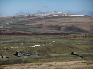 |
| Image 2 ID | 4106 Click image to enlarge |
| Image 2 Description | Ash tree at startpoint for the walk. Parking area opposite the Green Dragon Pub, of blessed memory. Now longsince closed and a private house. |  |
| Image 3 ID | 4107 Click image to enlarge |
| Image 3 Description | Bird cherry by Padley Beck at the starting point car parking area. | 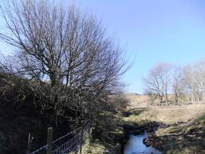 |
| Image 4 ID | 4109 Click image to enlarge |
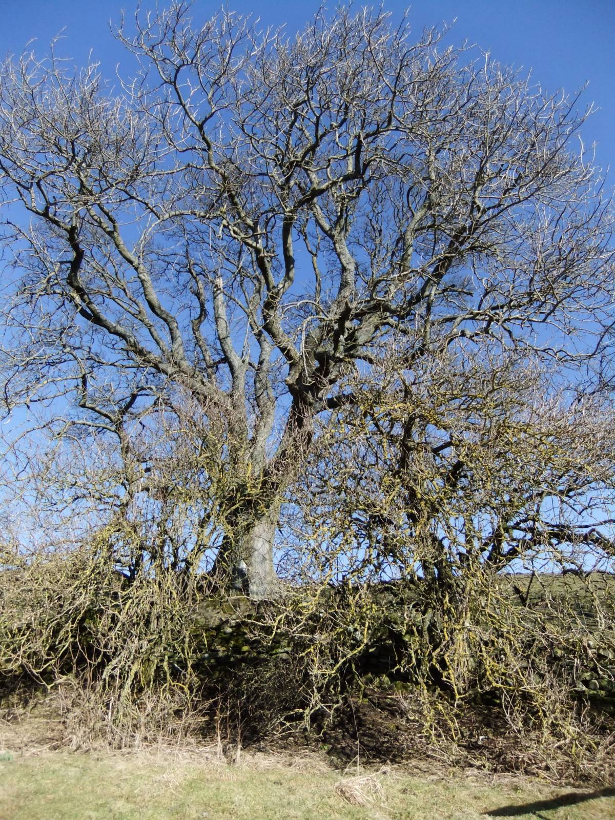
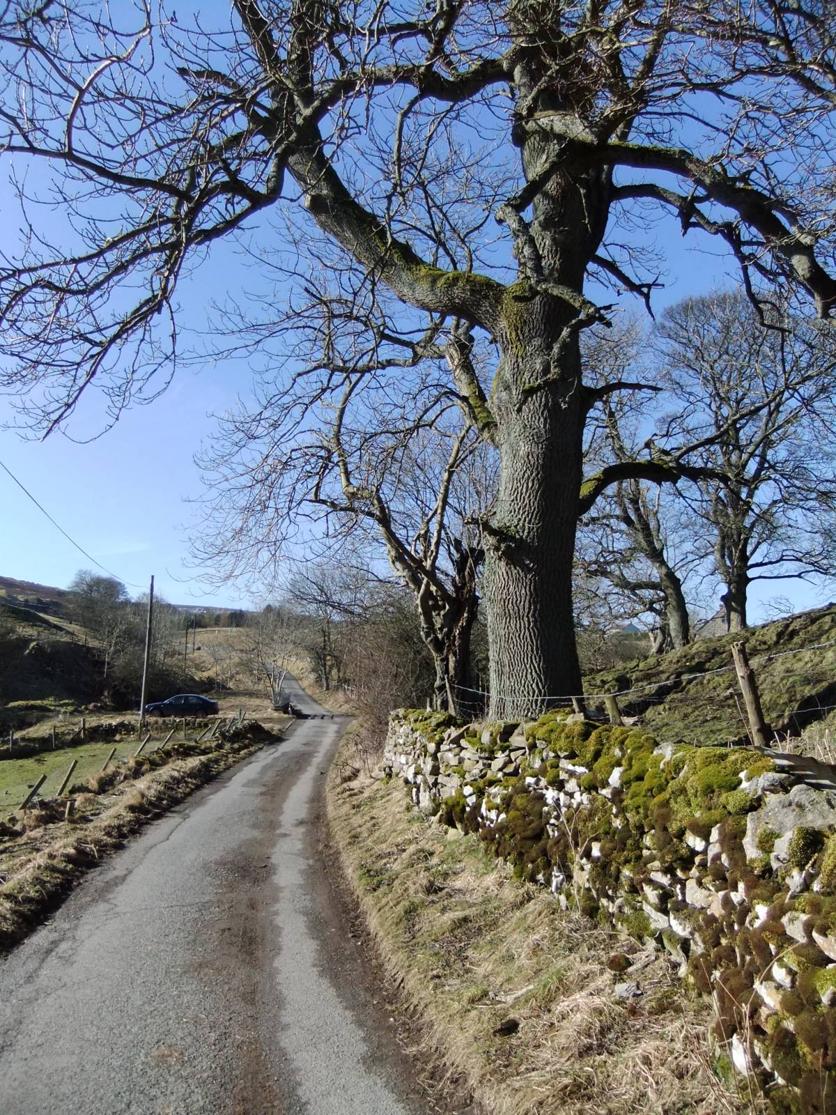
| Image 4 Description | Hurst to Washfold roadside. Afine ash tree with sycamore and larch also. |  |
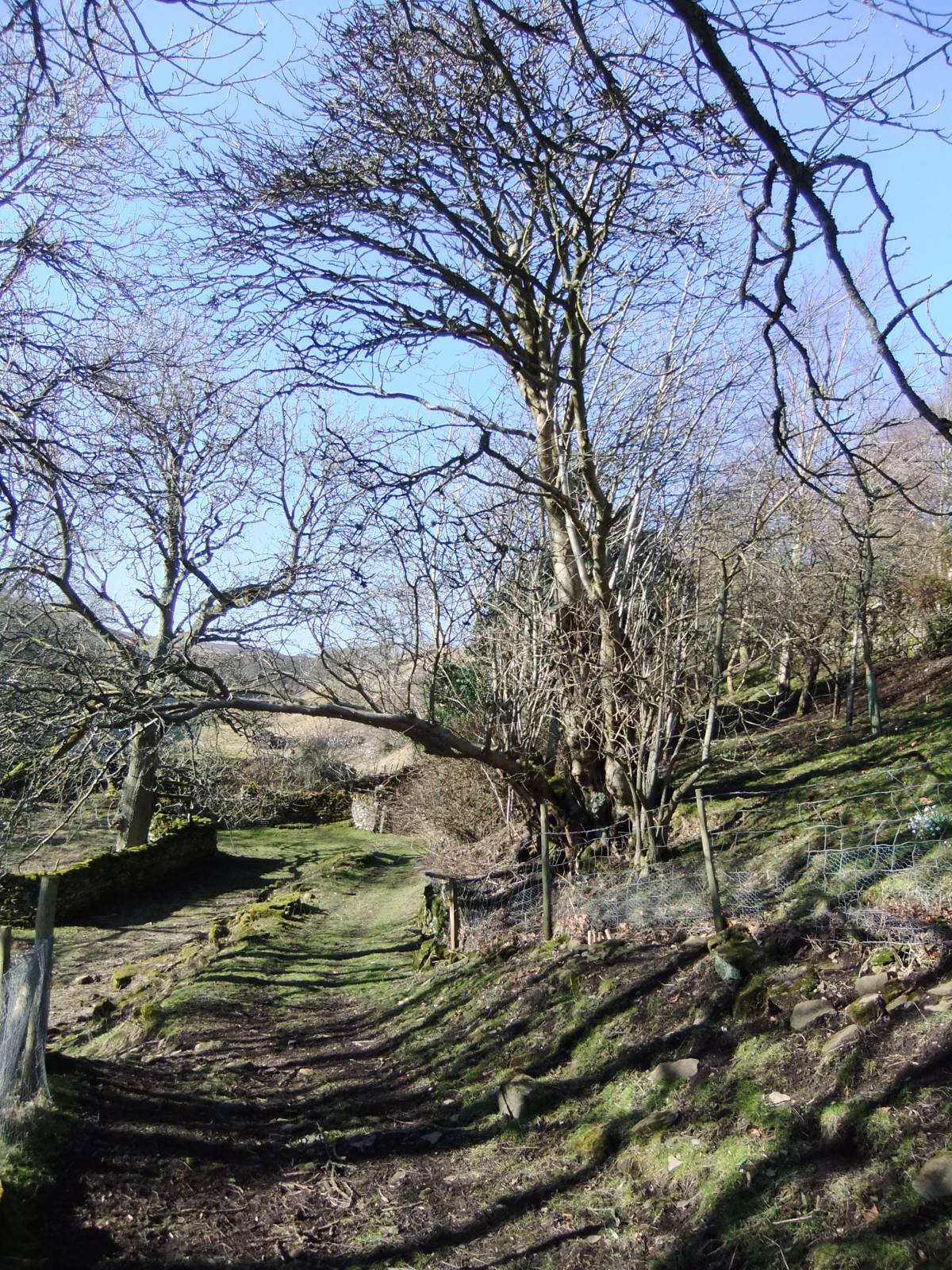
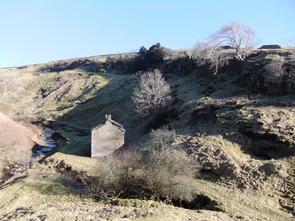
| Image 5 ID | 4110 Click image to enlarge |
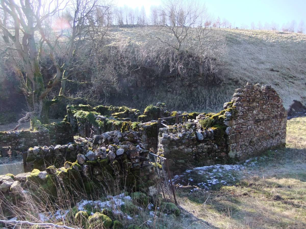
| Image 5 Description | Ruined farmer -miner's cottage on the track through Padley Beck Gill. | 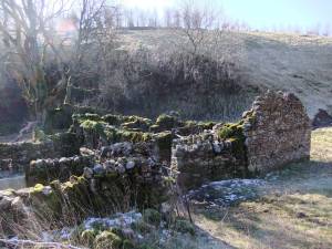 |
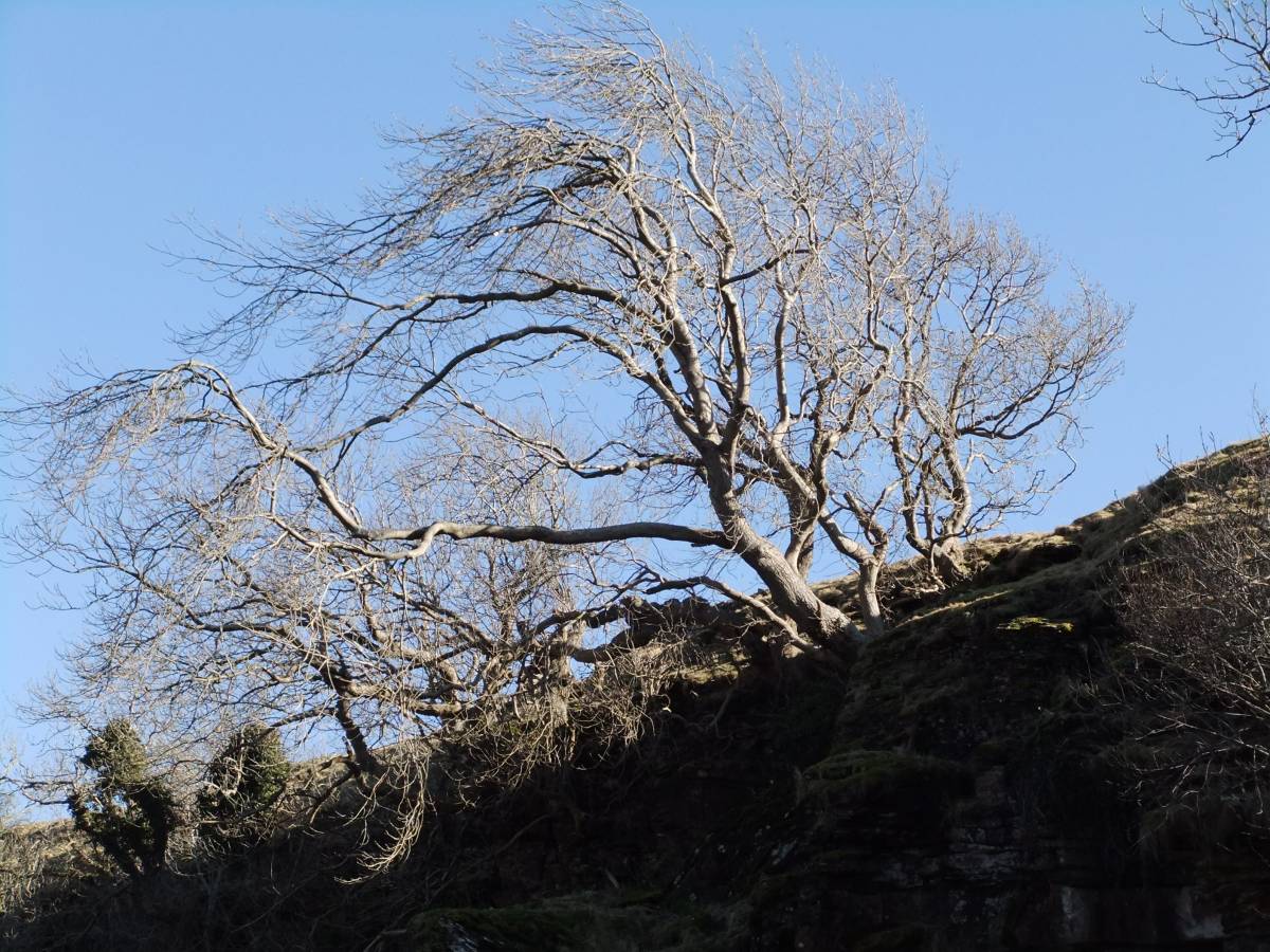
| Image 6 ID | 4111 Click image to enlarge |
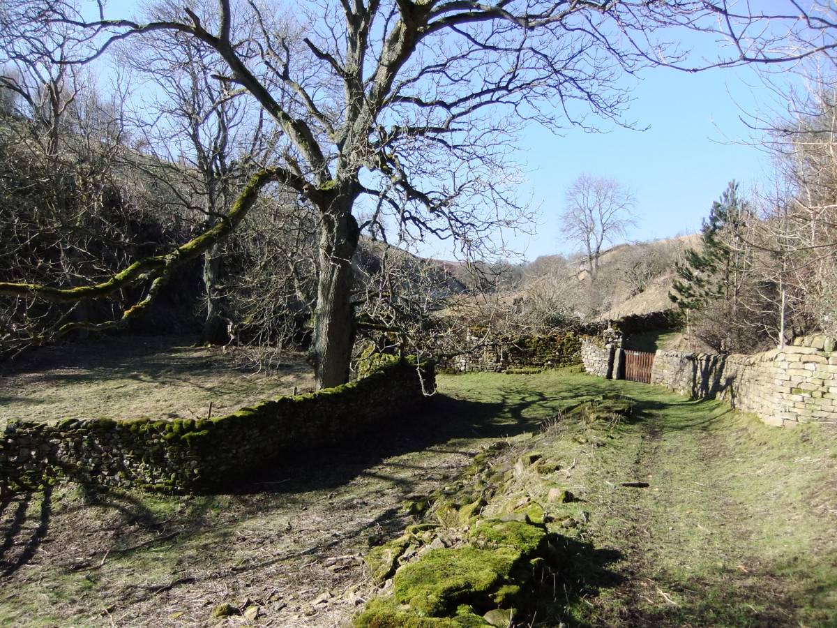
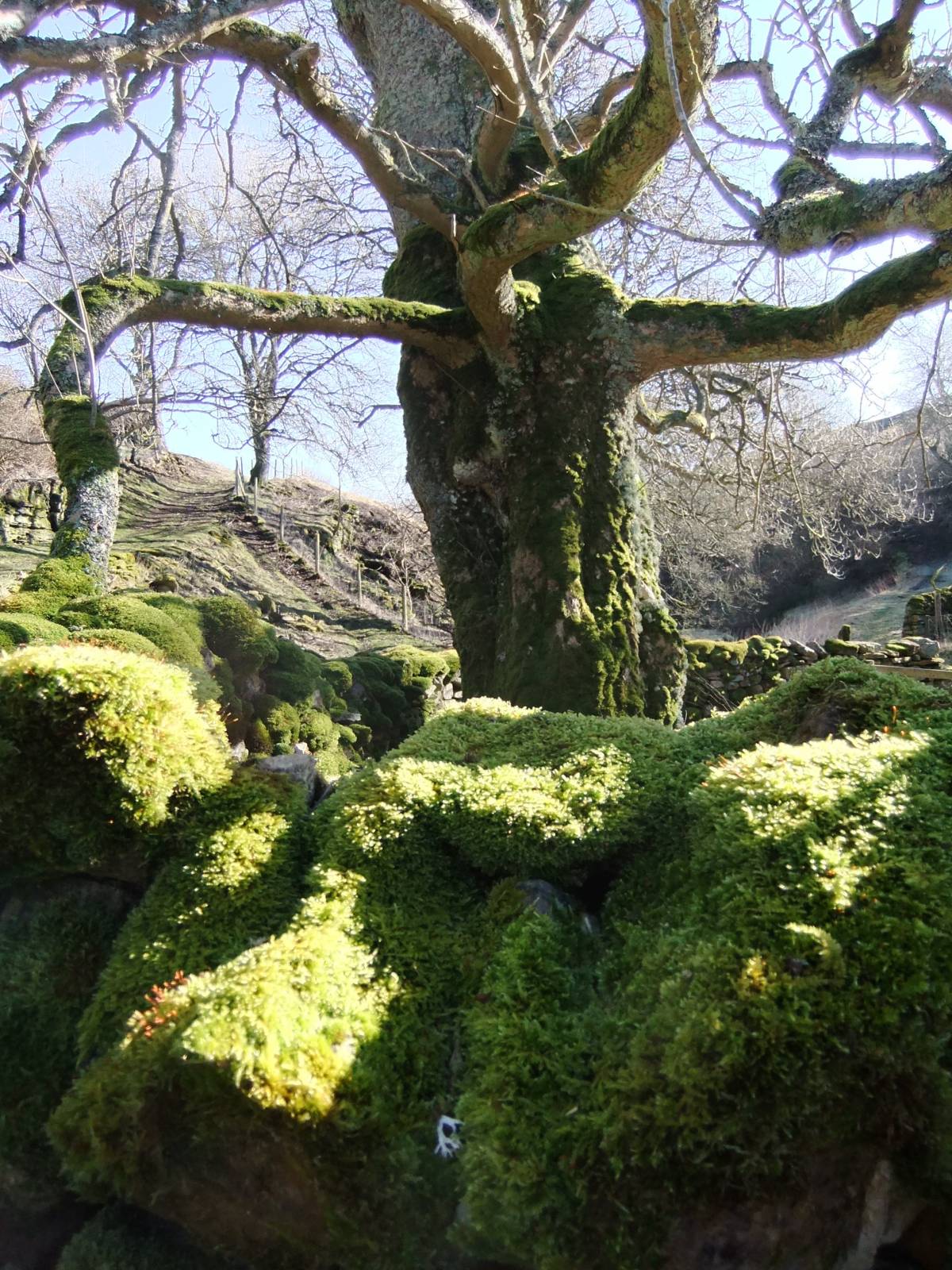
| Image 6 Description | Fine ash tree by the ruined cottage. | 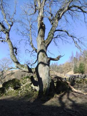 |
| Image 7 ID | 4112 Click image to enlarge |
| Image 7 Description | Fine ash tree by the ruined cottage. | 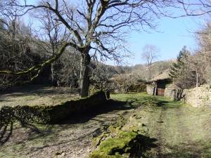 |
| Image 8 ID | 4113 Click image to enlarge |
| Image 8 Description | Fine ash tree by the ruined cottage. |  |
| Image 9 ID | 4114 Click image to enlarge |
| Image 9 Description | Privvy at the end of the garth to the ruined cottage,a long way to the loo on A DARK AND STORMY NIGHT! | 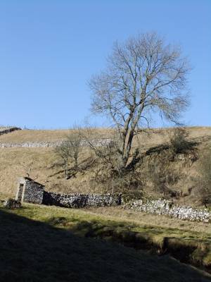 |
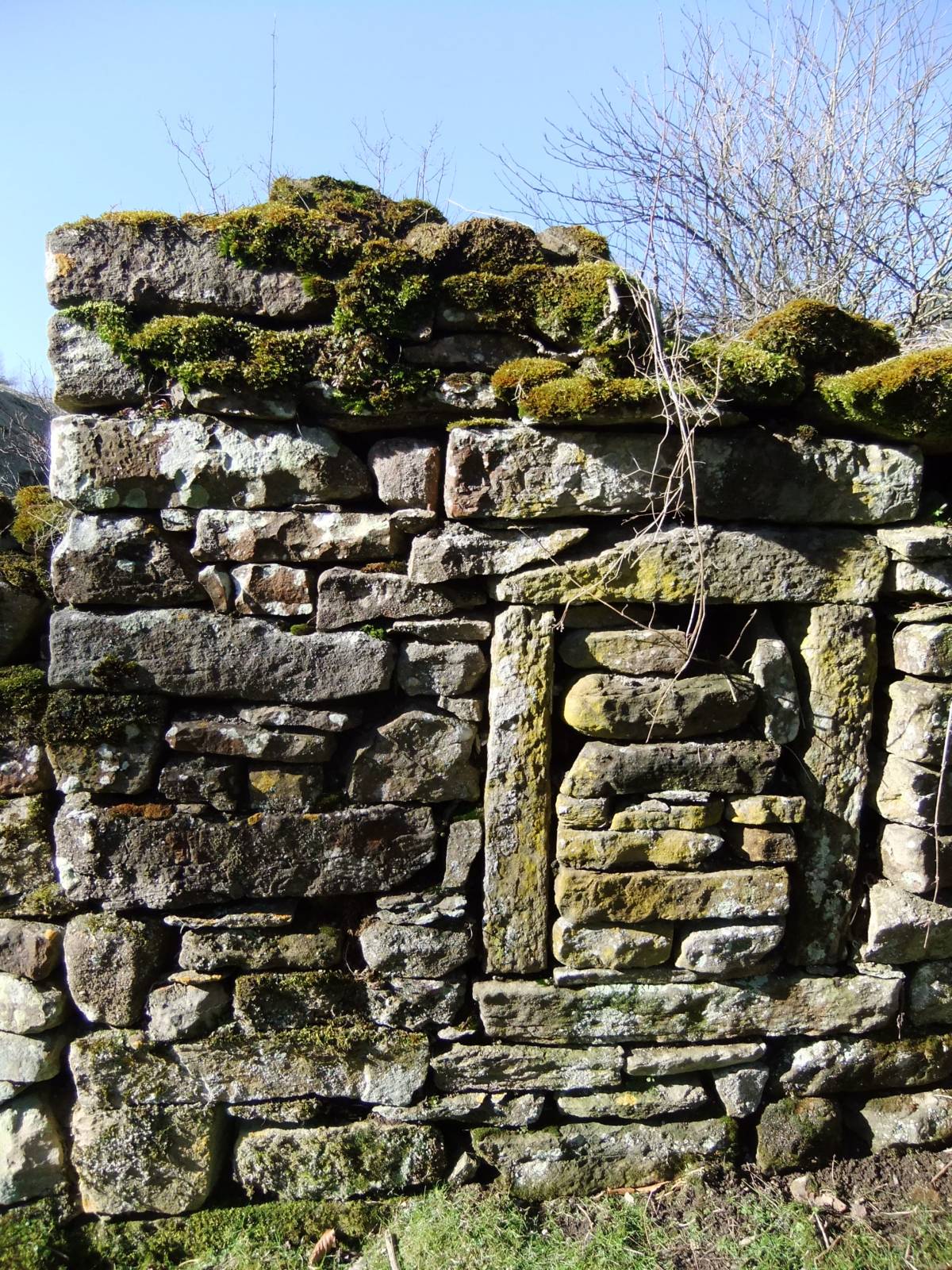
| Image 10 ID | 4115 Click image to enlarge |
| Image 10 Description | The cottage, detail. | 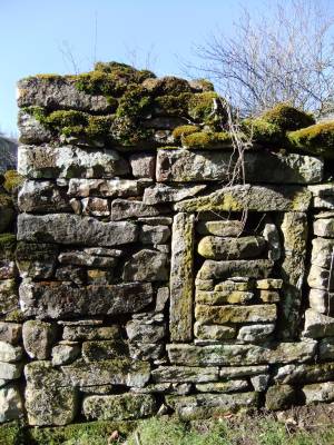 |
| Image 11 ID | 4116 Click image to enlarge |
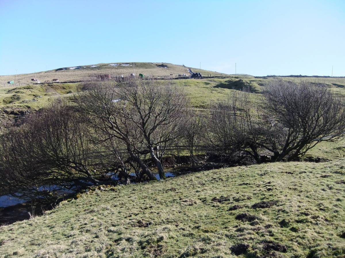
| Image 11 Description | Aspens at the top edge of woodland. Padley Beck. | 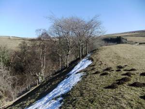 |
| Image 12 ID | 4117 Click image to enlarge |
| Image 12 Description | Aspens at the top edge of woodland. Padley Beck. | 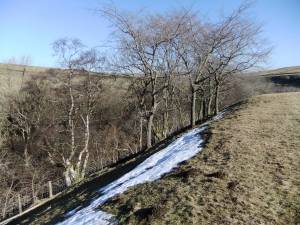 |
| Image 13 ID | 4118 Click image to enlarge |
| Image 13 Description | Ruined hoghouse,in pasture at the top edge of woodland, with aspen grove. Padley Beck. | 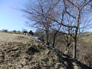 |
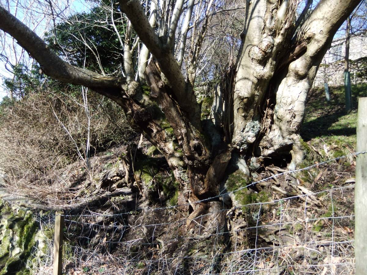
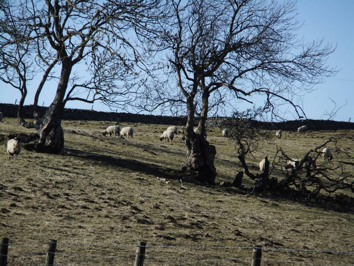
| Image 14 ID | 4119 Click image to enlarge |
| Image 14 Description | Ancient rowan close to track from Helwith at meeting with track through Padley Beck | 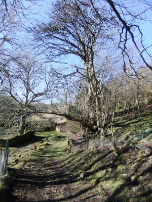 |
| Image 15 ID | 4120 Click image to enlarge |
| Image 15 Description | The ancient rowan, detail. |  |
| Image 16 ID | 4121 Click image to enlarge |
| Image 16 Description | Old ash coppiced trees on track to Prys Farm above Padley Beck. | 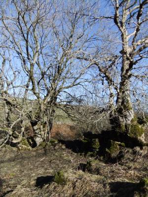 |
| Image 17 ID | 4122 Click image to enlarge |
| Image 17 Description | Old ash coppiced trees on track to Prys Farm above Padley Beck. Detail. | 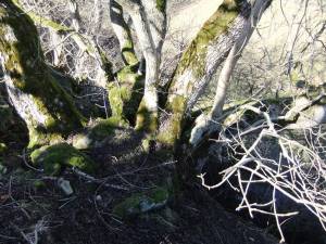 |
| Image 18 ID | 4123 Click image to enlarge |
| Image 18 Description | Bird cherry and crab apple in pasture by the Prys Shaft Lead Mine | 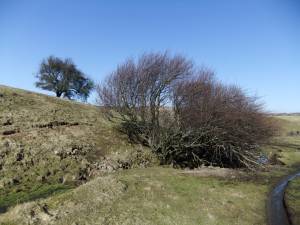 |
| Image 19 ID | 4124 Click image to enlarge |
| Image 19 Description | Ancient rowan pollard in relict hedgerow. | 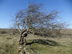 |
| Image 20 ID | 4125 Click image to enlarge |
| Image 20 Description | The bird cherry near Prys Shaft. This will be a mass of white blossom in late spring. |  |
| Image 21 ID | 4126 Click image to enlarge |
| Image 21 Description | Old ash pollards in relict hedgerows. | 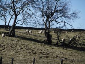 |
| Image 22 ID | 4127 Click image to enlarge |
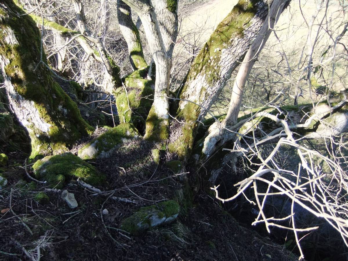
| Image 22 Description | A fine cliff yew with ash woodland above Shaw Beck at the confluence with Padley Beck | 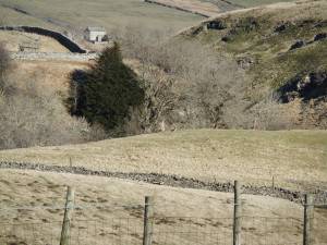 |
| Image 23 ID | 4128 Click image to enlarge |
| Image 23 Description | Shaw Beck Gill, view down to the Prys Level Lead Mine Shop. Cliff yews with fine ash trees on both sides of the Gill. | 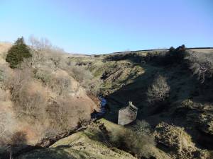 |
| Image 24 ID | 4129 Click image to enlarge |
| Image 24 Description | The Shaw Gill Yew, on low cliff formed from the Richmond Chert, with ash coppice. | 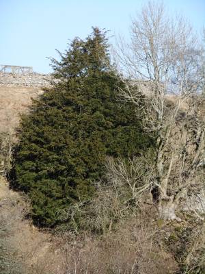 |
| Image 25 ID | 4130 Click image to enlarge |
| Image 25 Description | Shaw Gill, south side. ash and yews on cliff. | 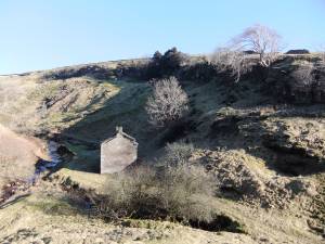 |
| Image 26 ID | 4131 Click image to enlarge |
| Image 26 Description | A fine Ash tree on this cliff, detail. | 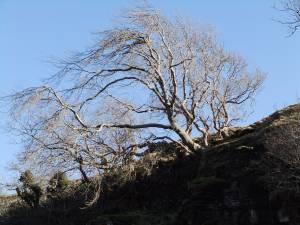 |
| Image 27 ID | 4134 Click image to enlarge |
| Image 27 Description | The Shaw Beck Yew | 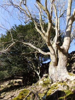 |
| Image 28 ID | 4133 Click image to enlarge |
| Image 28 Description | The Shaw Beck Yew detail | 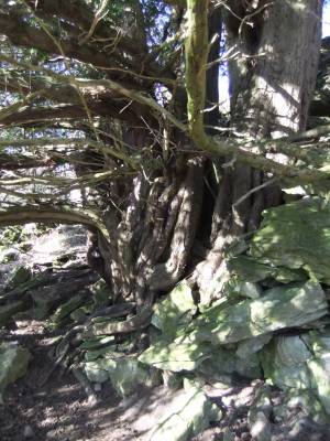 |